


Disaster Prevention Map / Hazard Map
-
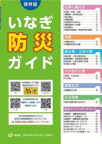
Inagi Disaster Prevention Guide
The "Inagi Disaster Prevention Guide" is a booklet that compiles information on disaster preparedness, necessary information during disasters, and maps showing disaster prevention facilities and hazard areas.
Please use this when learning about disaster preparedness at home or in the community.
-
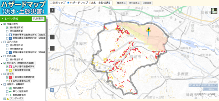
Web Version Disaster Prevention Map / Hazard Map
We have published a web version of the disaster prevention map and hazard map that allows you to overlay and view necessary disaster prevention information on the map.
You can zoom in and out of the map and print it, so please check the disaster risks around your home.
-
For Real Estate Agents
You can check the status of the flood hazard map created based on the Flood Control Act and the history of flooding.
This page is managed by the Inagi City Fire Department Disaster Prevention Division
〒206-0802 2111 Higashi-Naganuma, Inagi City, Tokyo (Inagi Fire Station)
Phone number: 042-377-7119 Fax number: 042-377-0119
Contact the Disaster Prevention Division of Inagi City Fire Department